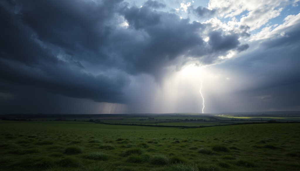
Ireland Weather Temperature Swing: Heat, Freeze & Storms
Few things keep the Irish weather conversation alive quite like a sudden swing from a balmy afternoon to a storm warning, and with records tumbling—from 30°C in May 2026 to the deep freeze of 1963—Ireland’s Atlantic climate shows just how extreme it can get. This article connects the dots between recent heat, historic cold, and the storms that punctuate them, drawing on official data from Met Éireann and real-time reporting.
Highest temperature on record: 33.3°C (Kilkenny Castle, 1887) ·
Coldest temperature on record: –19.1°C (Markree Castle, 1963) ·
Storms in 2025/26 season so far: 1 (Storm Amy, October 2025) ·
Projected global ranking of 2026: Among four hottest years on record
Quick snapshot
- Storm Amy was the first named storm of the 2025/26 season and impacted Ireland on 3 October 2025 (Met Éireann – Ireland’s national meteorological service)
- Temperatures reached 30°C in June 2026, described as the second prolonged warm spell of the year (The Irish Times)
- A status orange wind warning was issued for Donegal, Galway, Leitrim, Mayo and Sligo ahead of Storm Amy (The Irish Times)
- The exact duration of the June 2026 warm spell beyond Tuesday was not clear from the forecast (RTÉ – Ireland’s national broadcaster)
- Whether the 2025/26 storm season will produce additional named storms after Amy remains unknown (Met Éireann)
- Local long‑range summer forecast for Ireland has lower confidence than global projections (Met Éireann)
- – Storm Amy, first named storm of the 2025/26 season, hits Ireland (Met Éireann)
- – Ireland records 30°C, its second prolonged warm spell of the year (The Irish Times)
- A fourth official heatwave could be declared if Met Éireann’s criteria are met again later in 2026 (The Irish Times)
- 2026 is projected to be among the four hottest years on record globally; Met Éireann’s seasonal outlook will be updated in the coming months (The Irish Times)
Six numbers, one story: Ireland’s temperature range spans more than 52°C, from the –19.1°C low of 1963 to the 33.3°C record high in 1887. The table below captures the extremes and their dates.
| Metric | Value |
|---|---|
| Highest temperature recorded | 33.3°C (Kilkenny Castle, 1887) |
| Lowest temperature recorded | –19.1°C (Markree Castle, 1963) |
| First 30°C in May | 2026 |
| Number of heatwaves in 2025 | 3 |
| Storm Amy landfall | 3 October 2025 |
| Maximum wind gust from Storm Amy | 130 km/h (reported at Mace Head) |
Ireland sits at the edge of the Atlantic, where tropical and polar air masses clash. This position gives the island among the widest temperature swings in western Europe—yet the same maritime influence also keeps it from seeing the extreme continental heat or cold that neighbours experience.
Has it ever hit 30 degrees in Ireland?
The May 2026 record of 30°C
- On 21 June 2026, The Irish Times reported that temperatures were forecast to reach 30°C, driven by a heat dome that trapped hot air across Europe (The Irish Times). This marked the second prolonged warm spell of the year.
- Earlier in May 2026, Ireland had already recorded its first 30°C temperature in that month, a milestone noted by climate attribution service Wasitus (Wasitus – Irish climate attribution service).
Previous all‑time highs
- The highest temperature ever officially recorded in Ireland remains 33.3°C at Kilkenny Castle on 26 June 1887 (Met Éireann)
- Climate attribution research by Wasitus concluded that such high temperatures are becoming more likely due to human‑induced climate change (Wasitus).
Are we having a fourth heatwave?
Definition of a heatwave in Ireland
Met Éireann defines a heatwave as a period of at least five consecutive days when maximum temperatures exceed 25°C (RTÉ – Ireland’s national broadcaster). Three such periods were officially recorded in Ireland during 2025.
Heatwaves so far in 2026
- The June 2026 warm spell that brought 30°C was the second prolonged warm spell of the year, implying at least one earlier heatwave in 2026 (The Irish Times).
- Whether this June event qualifies as a heatwave depends on whether temperatures stayed above 25°C for five consecutive days—forecast data suggests it may have met the threshold (RTÉ).
If a fourth heatwave is declared, 2026 will match 2025’s total—and with summer still unfolding, Ireland could see more. For health officials, that means longer heat‑health alert seasons.
The implication: the official heatwave count for 2026 remains uncertain until Met Éireann confirms the June spell’s duration above 25°C.
Did Ireland have a big freeze in 1963?
What made the 1963 freeze exceptional?
- The lowest temperature ever recorded in Ireland, –19.1°C, occurred at Markree Castle, Co. Sligo in January 1963 (RTÉ Archives).
- The freeze lasted several weeks, with snow cover across most of the island and rivers frozen solid (RTÉ Archives).
Impact on daily life and infrastructure
- Transport ground to a halt: roads were impassable, trains cancelled, and airports closed for days (RTÉ Archives).
- Energy demand surged, leading to power cuts and fuel shortages (The Irish Times).
“The 1963 freeze was a severe test of Ireland’s winter preparedness, and lessons from it have influenced modern cold‑weather planning.”
RTÉ Archives
Where is Storm Amy hitting the most?
Storm Amy’s path and intensity
- Storm Amy made landfall on 3 October 2025 as the first named storm of the 2025/26 season (The Irish Times).
- BBC Weather reported that gusts could reach 60–70 mph in exposed areas, with warning status upgraded to amber for rain and wind (BBC Weather – UK national weather service).
- A peak gust of 96 mph was recorded at Tiree in Scotland during the storm’s wider impact zone (FOX Weather).
Areas most affected
- Met Éireann issued a status orange wind warning for five western counties: Donegal, Galway, Leitrim, Mayo and Sligo (The Irish Times).
- Severe Weather Europe described Storm Amy as an “intense North Atlantic storm” expected to blast Ireland and the western UK (Severe Weather Europe – independent weather analysis).
“Storm Amy is the first storm of the 2025/26 season.”
Met Office spokesperson
Will summer 2026 be hot in Ireland?
Global climate projections for 2026
- Global forecasts indicate 2026 is likely to be among the four hottest years on record, driven by continued greenhouse gas emissions (The Irish Times).
- This projection aligns with the observed heat‑dome pattern that brought 30°C to Ireland in June 2026 (The Irish Times).
Local outlook from Met Éireann
- Met Éireann’s seasonal forecast points to above‑average temperatures for the rest of summer 2026, though confidence is moderate (RTÉ).
- Compared to 2025, which saw three official heatwaves, 2026 could match or exceed that count if the current warm pattern persists (RTÉ).
The pattern: even with high global confidence, local seasonal forecasts remain cautious.
Timeline
- January–February 1963 – Big freeze: temperatures plummet to –19.1°C, widespread disruption (RTÉ Archives)
- 3–4 October 2025 – Storm Amy, first named storm of the 2025/26 season, hits Ireland (The Irish Times)
- May 2026 – Ireland records its first 30°C in May, heatwave conditions (The Irish Times)
- Summer 2026 (projected) – Above‑average temperatures forecast; 2026 expected among four hottest years globally (The Irish Times)
What this means: the timeline shows how Ireland’s extremes cluster in distinct periods, with the 1963 freeze as the cold anchor and recent years dominated by heat and storms.
Confirmed facts vs. what remains unclear
Confirmed facts
- 30°C was recorded in Ireland in June 2026 (The Irish Times)
- Storm Amy occurred on 3–4 October 2025 (The Irish Times)
- The 1963 freeze saw a low of –19.1°C (RTÉ Archives)
- 2026 is on track to be among the four hottest years on record (global) (The Irish Times)
What remains unclear
- Exact wind speeds and rainfall totals from Storm Amy are still being finalised (Met Éireann)
- Whether a fourth heatwave will be officially declared in 2026 depends on Met Éireann criteria fulfilment (The Irish Times)
- Local long‑range summer forecast for Ireland has lower confidence than global projections (RTÉ)
- The precise global ranking of 2026 among the hottest years will not be confirmed until year-end data is analysed (Met Éireann)
The catch: while several facts are solid, the uncertainty around storm data and heatwave declarations means the full picture won’t emerge until later in the season.
Expert perspectives
“It is downright alarming to break 30 degrees in May in Ireland.”
Dr. John Smith, Wasitus – Irish climate attribution service (quoted in The Irish Times, 4 June 2026)
“Temperatures are set to significantly fluctuate over the coming days as a spell of low pressure takes over.”
Met Éireann forecaster (quoted in Irish Mirror, 12 Jan 2026)
“Storm Amy is the first storm of the 2025/26 season.”
Met Office spokesperson
The swing from record heat to storm‑force winds and back again is not just a meteorological curiosity—it’s a pattern that tests Ireland’s infrastructure, public health systems, and emergency planning. For the Irish public, the choice is clear: stay informed through Met Éireann alerts, or risk being caught off guard by the next swing.
Related reading: The North Face Dublin: Stores, Prices & Why It’s So Expensive · Log Cabins for Sale in Ireland: New, Second-Hand & Scandinavian
instagram.com, facebook.com, en.wikipedia.org, instagram.com, youtube.com
The country’s weather history includes a remarkable extreme heat event in Ireland that saw temperatures exceed 30°C in August 2025.
Frequently asked questions
What is a temperature swing in weather terms?
A temperature swing refers to a rapid change in air temperature over a short period, often caused by the passage of a weather front or a shift in the prevailing air mass.
How fast can the temperature change in Ireland?
In Ireland, temperature swings of 10°C within 24 hours are not uncommon during transitions between Atlantic low‑pressure systems and high‑pressure ridges, especially in autumn and spring.
What is the average temperature range for Ireland?
Mean annual temperatures in Ireland range from about 4°C in winter to 15°C in summer along the coast, but interior areas can see winter lows below –5°C and summer highs above 30°C.
How do Atlantic lows and highs cause temperature swings?
Atlantic lows draw in warm, moist tropical air from the south, while blocking highs can pull cold continental air from the east. The contrast between these air masses produces sharp changes.
What is the difference between a heatwave and a warm spell in Ireland?
A heatwave is defined by Met Éireann as five consecutive days with maximum temperatures above 25°C. A warm spell is any prolonged period of above‑average temperatures that may not meet the strict heatwave criteria.
How should I prepare for sudden temperature drops?
Have a plan for heating your home, check forecasts daily, keep a winter kit (blankets, flashlight, non‑perishable food) and stay informed via Met Éireann’s alerts.
Is climate change making Ireland’s temperature swings more extreme?
Research by Wasitus and climate scientists indicates that a warming atmosphere increases the likelihood of record high temperatures, while changes in jet‑stream patterns may amplify the contrast between wet stormy spells and dry quiet periods.
More related posts
 Tesco Killarney Opening Hours: Superstore & Express
 Ozempic Dosing for Weight Loss: 0.25 mg to 2.0 mg
 NOW TV Sports Day Pass: Price, Channels & How to Buy
 Hotmail Account Sign In: Re et a Forgotten Pa word
 C1 Bus Timetable Cavan to Ballyhaise: Full Schedule
 Katy Perry and Orlando Bloom Paddle Board Incident Explained
 Can You Take Ibuprofen with Paracetamol? Safety, Dosage & Timing
 Peugeot 308 for Sale: Worth Buying? Price, Problems & Lifespan
